Register | Login
Attackpoint AR - performance and training tools for adventure athletes

Training Log Archive: Nadim

In the 31 days ending Aug 31, 2013:

activity # timemileskm+m
  Hiking5 6:23:01 9.43(40:38) 15.17(25:15) 572
  Running11 5:13:05 35.97(8:42) 57.89(5:25) 341
  Orienteering3 5:04:19 14.6(20:50) 23.5(12:57) 98067 /80c83%
  Bicycling22 4:07:00 57.46(4:18) 92.47(2:40)
  Total38 20:47:25 117.45(10:37) 189.02(6:36) 189367 /80c83%
  [1-5]37 20:26:55
averages - sleep:6.1 weight:179.1lbs

«»
4:32
0:00
» now
ThFrSaSuMoTuWeThFrSaSuMoTuWeThFrSaSuMoTuWeThFrSaSuMoTuWeThFrSa

Saturday Aug 31, 2013 #

10 AM

Running (Street & Trail) 45:13 [3] 5.24 mi (8:38 / mi)
slept:8.0 weight:178.5lbs

From Northfield Rd., to Old Georgetown Rd. via Greenwich Park, to the Bethesda Trolley Trail, to Woodglen Dr., to Nicholson Ln., to Executive Blvd./Jefferson St. at Lorraine Dr. in Rockville. I slept in and though Max had gotten up well before I had, I had a hard time getting him out the door. It took a lot of convincing for him to go on bicycle with me while I ran. He did well but was complaining a lot on uphills. We'd gotten such a late start at 10:30am that it was getting hot. There was still some shade but the last 2 miles I was getting overheated. It was good that there were some traffic light stops. Once at Panera Bread at the end of the run, I drank a lot of water. We missed most of the other MCRRC people who'd gathered for breakfast. Peggy drove us back.

Friday Aug 30, 2013 #

7 AM

Bicycling (Commute) 48:44 [3] 13.51 mi (3:36 / mi)
slept:5.5 weight:178lbs

From Northfield Rd., Bethesda, MD, to Madison St., then back to Northfield Rd., then to 12th and C St. SW, Washington, D.C. I rode with Max to his new school for the first time, rode with his bicycle along side mine back home, then went all the way into work unencumbered. Max rode well, on the larger bicycle that the Lennons handed down to him. He likes that bike and handled it pretty well; it needs some maintenance work. I hadn't had a decent bicycle ride, one that lasted more than 10 minutes, since June 28th. There are various reasons for it somewhat out of my control but today, since I ran adequately the day before and the weather was going to be good, I decided to commute all the way. I kept a steady effort, slowing on uphills and speeding up going down them. My butt felt out of shape but it was nice riding.

Some callus on my left foot on the big toe came off today. I'd been filing this stuff for years. It was odd that it just fell off--guess I had not been running enough the last 2 months. The skin was normal and smooth where it had been. Oddly I've been having trouble with callus on the bottom of my right foot all year. The callus on my toes had not been painful for the most part but the callus on the bottom of my right foot is quite painful at times. The newer callus grows back to a painful point quickly. I've been cutting and filing it back regularly but lately, I've been trying to let it grow to see if it gets to a point where it won't be painful too. It seemed this was working for a time but not lately.
4 PM

Bicycling (Commute) 42:31 intensity: (34:31 @3) + (8:00 @4) 11.9 mi (3:34 / mi)

From 12th and C St. SW, Washington, D.C. to Northfield Rd., Bethesda, MD. I had a tailwind but took my time. I really had no choice about it in Georgetown with other cyclists and cars creating slow traffic. I also had a mush rear tire from a slow leak that I discovered while cornering. I had almost caught one rider moving more at my pace in Georgetown but once on the Capital Crescent Trail., he picked up the pace; I let him go. There were many other cyclists on the CCT and plenty of runners. Going up the grade after Fletcher's Boathouse, I began catching a group and I picked up the pace. The group was led by the guy I let go after Georgetown. The tailwind helped and I caught the group. I stayed on the lead rider rather than push hard. After leaving the trail, I rode the last mile slowly.
6 PM

Bicycling (Commute) 27:29 intensity: (23:59 @1) + (3:30 @3) 3.61 mi (7:37 / mi)

From Northfield Rd., to Charlcotte Rd. to Elm St. and Woodmont Rd., then back after dinner. Peggy, Max, and Max's friend Alice went together. It was dark by the time we returned.

Thursday Aug 29, 2013 #

7 AM

Bicycling (Commute) 5:51 [3] 1.41 mi (4:09 / mi)
slept:5.0 weight:181lbs

From Northfield Rd., to the Bethesda Metro Station. It was very humid but it wasn't raining.
6 PM

Running (Street & Trail Commute) 49:26 [3] 5.78 mi (8:33 / mi)

From 12th and Independence Ave., SW, Washington, D.C. 15th Street to the Jefferson Memorial, across the 14th Street Bridge, up the Mt. Vernon Trail to the Key Bridge, to M Street, N.W., to 29th St. to Olive St., to the trail along the bluff through Rock Creek Park, to P St., to 20th St. to the DuPont Circle Metro Station. I was tired from the beginning partly from not sleeping enough. It was +83 F and 57% humidity but the humidity felt higher. I felt heavy and like I was moving slowly.

Bicycling (Commute) 5:51 [3] 1.41 mi (4:09 / mi)

From the Bethesda Metro Station to Northfield Rd. This was a good way to cool off after running.

Tuesday Aug 27, 2013 #

7 AM

Bicycling (Commute) 5:55 [3] 1.41 mi (4:12 / mi)
slept:5.5 weight:179lbs

From Northfield Rd. to the Bethesda Metro Station.
7 PM

Bicycling (Commute) 5:16 [4] 1.41 mi (3:44 / mi)

From the Bethesda Metro Station to Northfield Rd. I hit the first light perfectly but got hung up at the next. I pushed a bit and ran into utility worker traffic near home. It was a bit too warm and humid to be pushing in my work clothes.
11 PM

Running (Street & Trail) 17:20 [3] 2.2 mi (7:53 / mi)

From Northfield Rd. I ran up to Custer Rd., to Wilson La., to Exeter Rd. to Glenbrook Rd. to the Bethesda Trolley Trail, to the NIH grounds, to Maple Ridge Rd. to Georgetown Pike, to Huntington Pkwy., to Custer Rd. to Northfield Rd. I waited until after digesting dinner. It was still humid outside but right about 80 F. I was 8:08 at the first mile and thought incorrectly that I was slowing down the second.

Monday Aug 26, 2013 #

7 AM

Bicycling (Commute) 5:41 [3] 1.41 mi (4:02 / mi)
slept:5.25 weight:180lbs

From Northfield Rd. to the Bethesda Metro Station. It was Max's first day of school (3rd grade) at a new school. A redistricting plan has taken effect. I'll have to look at new commute routines for he and I. Had it been a regular day, I would have suggested that we both bicycle. Instead, I drove him, then went home to ride myself. Max's new school has been newly rennovated. I saw the bike racks outside it still wrapped in shrink-wrap plastic and not yet installed.
5 PM

Running (Street & Trail Commute) 35:04 [3] 4.4 mi (7:58 / mi) +58m 7:39 / mi

Washington, D.C. From 14th & Independence Ave., SW, down The Mall along Independence Ave. and the Reflecting Pool to the Lincoln Memorial, to Ohio Dr. to the Rock Creek Trail, to Calvert St., to the Woodley Park/Zoo Metro Station. It was 84 F and sunny but not very humid--still odd for August but much appreciated. At a traffic light starting out, a couple of women runner were commenting how hot it was and all I could think was they must be relatively new to the area. Around the Reflecting Pool, crews were slowly packing-up after the weekend Civil Rights March on Washington which commemorated the 50th anniversary march in which Martin Luther King gave his inspiring "I Have a Dream" speech. More activities are to continue on Wednesday which is the actual anniversary. Further down the trail, there were lots of cyclists and runners. I kept a steady effort.
6 PM

Bicycling (Commute) 6:06 [3] 1.41 mi (4:20 / mi)

From the Bethesda Metro Station to Northfield Rd. I ran into stop and go traffic at intersections. Being a little sweaty, the breeze while riding felt good.

Sunday Aug 25, 2013 #

1 PM

Running (Trail) 43:46 [3] 4.89 mi (8:57 / mi) +105m 8:24 / mi
slept:7.5 weight:180.5lbs

From Bradley Blvd. I ran on the Cabin John Trail to Seven Locks Rd., then turned around, went past Bradley Blvd. to River Rd. and then returned to Bradley Blvd. It was warmer than when I ran yesterday but it wasn't hot. I felt sore in my quads like I had on Friday and Saturday. I also could have used a bathroom for most of this run.

Saturday Aug 24, 2013 #

8 AM

Running (Street & Trail) 26:21 [3] 3.19 mi (8:16 / mi) +55m 7:50 / mi
slept:7.25 weight:180lbs

From Northfield Rd Bethesda, MD., Custer Rd. to Wilson Rd., to Glenbrook Rd., to Cornish Rd., to Burlington Rd., Bradley Rd., to Radnor Rd. I looped around Rock Creek Forest ES, looking for a cut through to other roads but the breaks in the fences looked like they went into back yards. I continued on Radnor Rd. to Old Chester Rd., to Aberdeen Rd., to Aberdeen Pl., to Northfield Rd. It was nice and cool but getting warmer as I finished up. I had thought I'd go a shorter way but felt like going further.

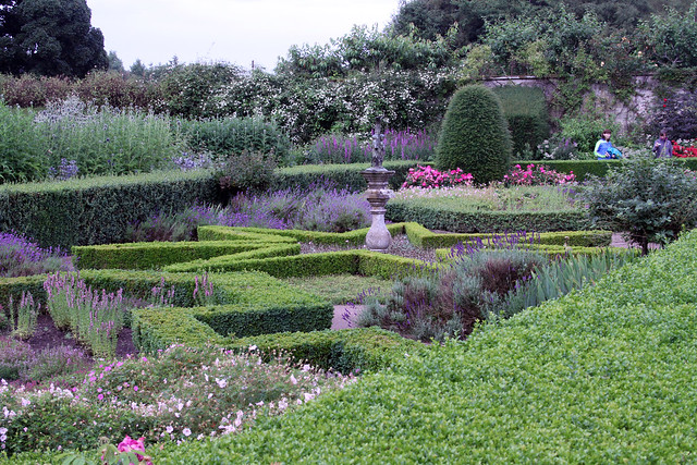
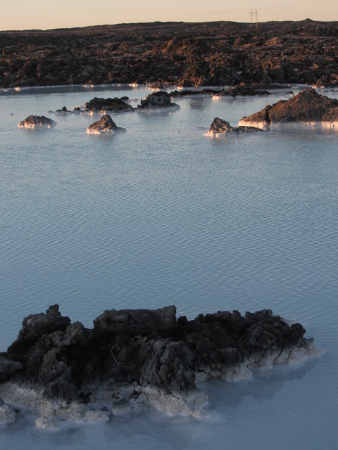
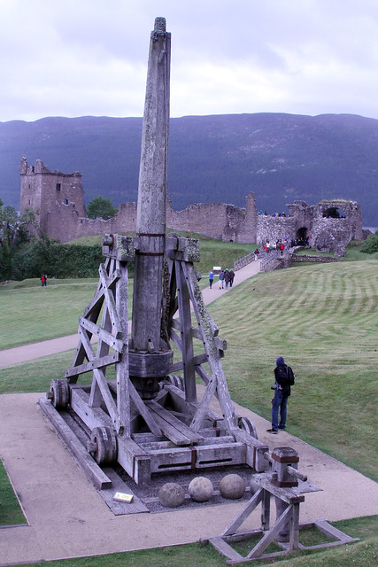
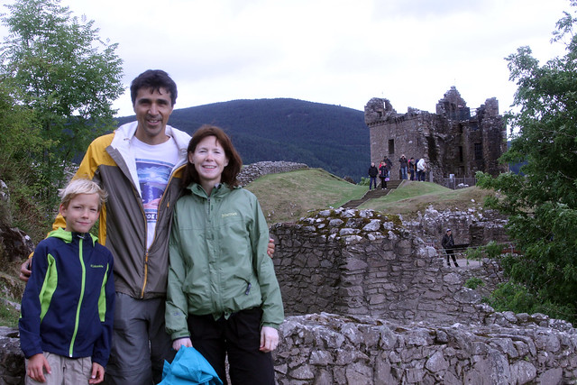
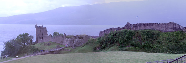
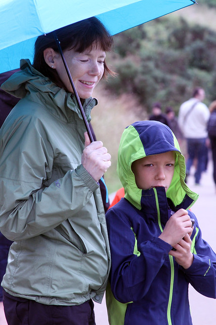
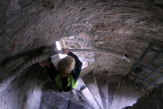
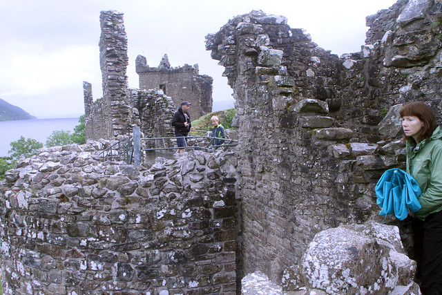
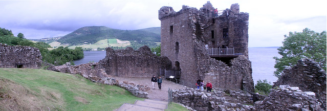
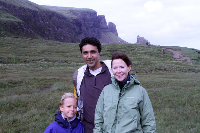
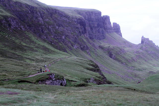
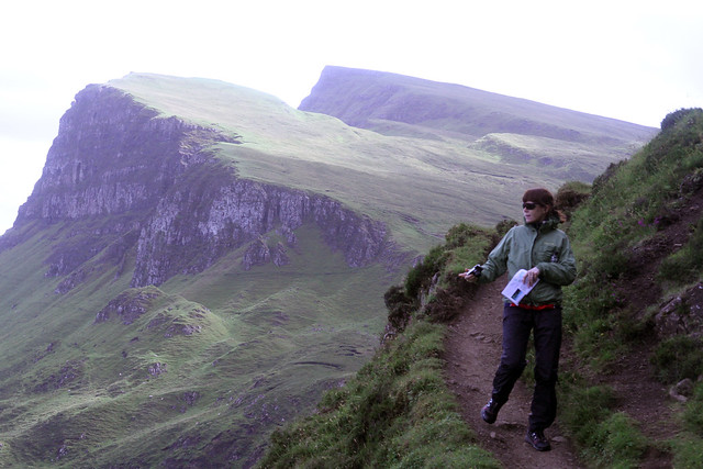
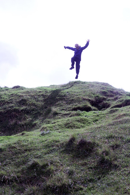
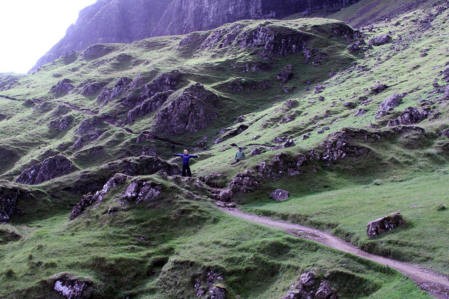
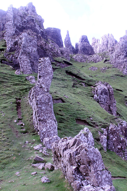
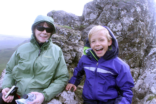
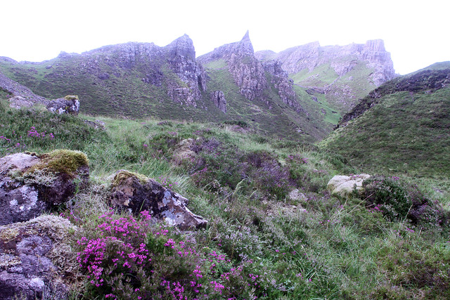
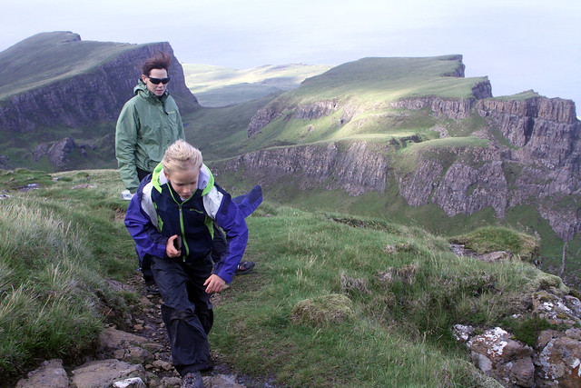
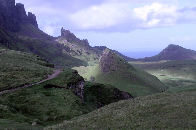
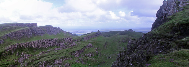
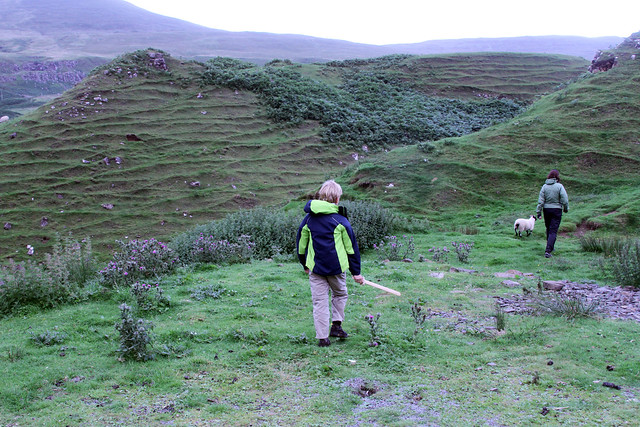
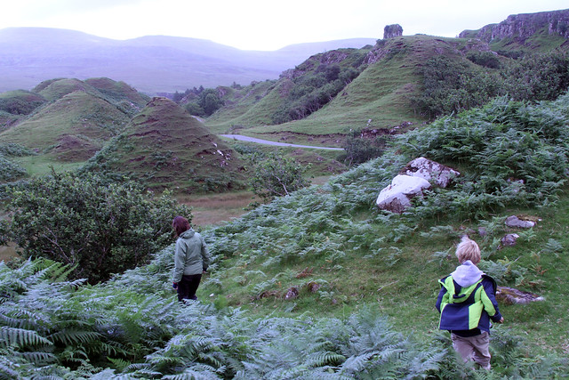
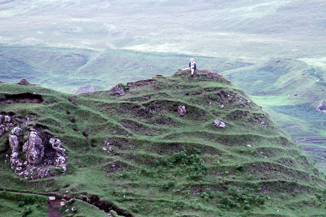
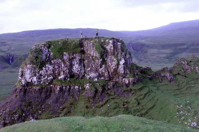
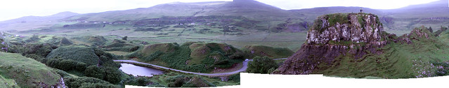
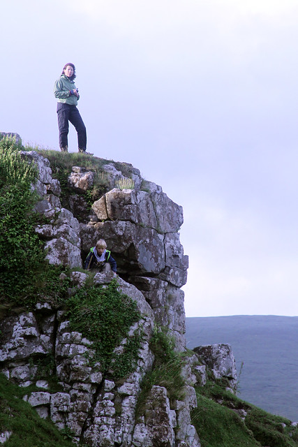
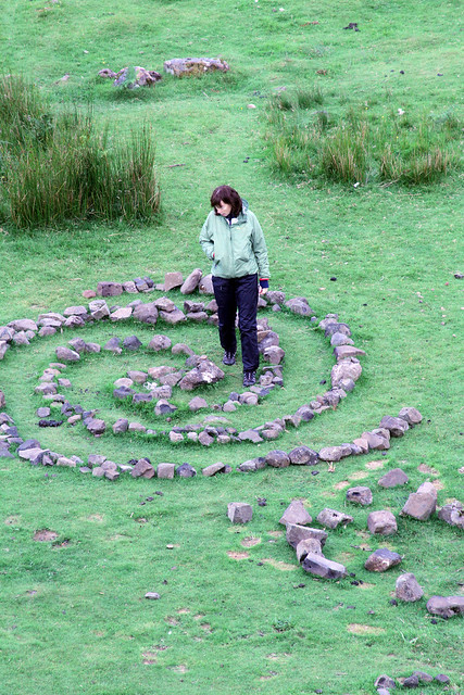
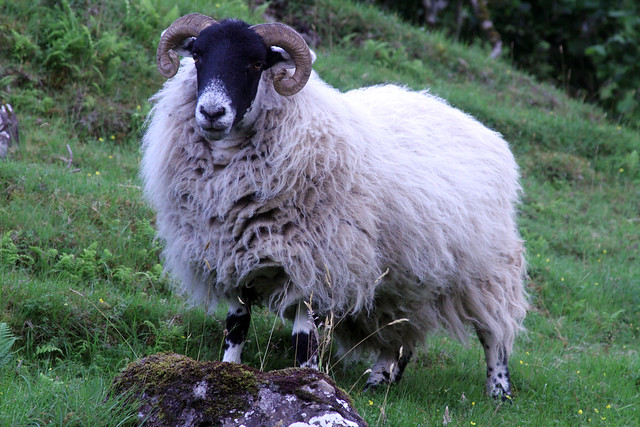
Over the last 2 weeks, I got most of the pictures from our Scotland/Iceland trip posted to Flickr:

http://www.flickr.com/photos/nadim_ahmed/sets/7215... - Scotland General
http://www.flickr.com/photos/nadim_ahmed/sets/7215... - Isle of Skye
http://www.flickr.com/photos/nadim_ahmed/sets/7215... - Dunnottar Castle
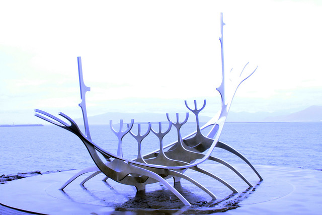
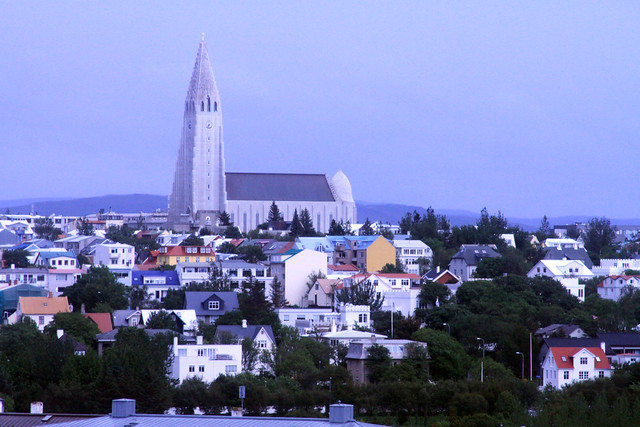
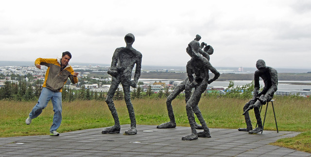
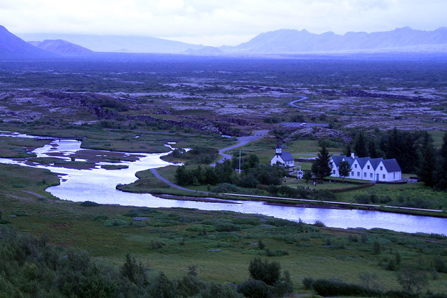
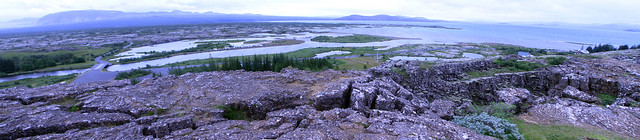
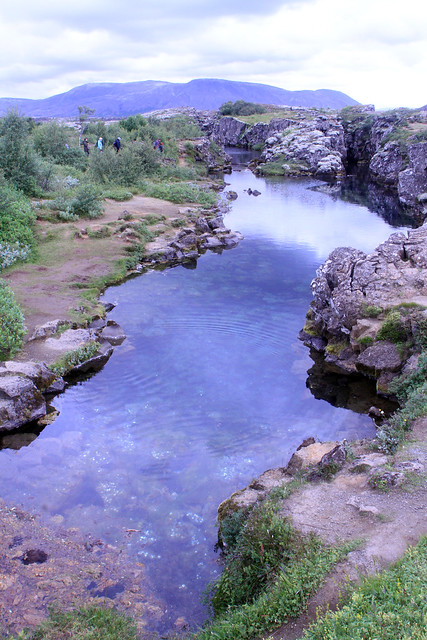
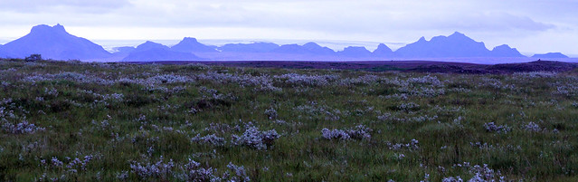
http://www.flickr.com/photos/nadim_ahmed/sets/7215... - Iceland General
http://www.flickr.com/photos/nadim_ahmed/sets/7215... - Langjokull Glacier

Some are posted to my AP log for the days I was there too.

Friday Aug 23, 2013 #

9 AM

Running (Street & Trail) 18:19 [3] 2.29 mi (8:00 / mi) +23m 7:45 / mi
slept:4.75 weight:180.5lbs

From Northfield Rd Bethesda, MD., to Old Georgetown Rd. via Greenwich Park, to Johnson Ave. to Heamsteadt Ave. to McKinley Ave. to Garfield St. to Roosevelt. Ave. to Jefferson St. to Northfield Rd. I was able to get out and run before the day went haywire. I certainly did not feel good running this but I was glad to have gotten out.

Thursday Aug 22, 2013 #

8 AM

Bicycling (Commute) 8:50 intensity: (2:10 @1) + (3:00 @3) + (3:40 @4) 1.5 mi (5:53 / mi)
slept:6.0 weight:180.5lbs

From Northfield Rd. to the Huntington Pkwy. to get Max to his camp bus stop, then to the Bethesda Metro Station. I took a slight detour to get past the trash trucks.

Bicycling (Commute) 5:50 intensity: (2:50 @3) + (3:00 @4) 1.41 mi (4:08 / mi)

From the Bethesda Metro Station to Northfield Rd. Busy. Busy. Busy.

Wednesday Aug 21, 2013 #

8 AM

Bicycling (Commute) 8:31 intensity: (2:15 @2) + (6:16 @3) 1.44 mi (5:55 / mi)
slept:5.25 weight:179.5lbs

From Northfield Rd. to the Huntington Pkwy. to get Max to his camp bus stop, then to the Bethesda Metro Station. Max got a smaller head start but after I caught up with him, I rode at his walking pace. I had waken-up this morning and went into a calf cramp on my right leg. It is still sore late into the afternoon.
6 PM

Bicycling (Commute) 6:10 [3] 1.41 mi (4:22 / mi)

From the Bethesda Metro Station to Northfield Rd. There was a bit more traffic today.

Tuesday Aug 20, 2013 #

8 AM

Bicycling (Commute) 8:33 intensity: (2:00 @1) + (6:33 @3) 1.5 mi (5:42 / mi)
slept:5.0 weight:179.5lbs

From Northfield Rd. to the Huntington Pkwy. to get Max to his camp bus stop, then to the Bethesda Metro Station. Max got a smaller head start but after I caught up with him, I rode at his walking pace.
6 PM

Bicycling (Commute) 5:21 [4] 1.41 mi (3:48 / mi)

From the Bethesda Metro Station to Northfield Rd. I hit two of the big intersections pretty well. Certainly going under 5 minutes is possible under ideal traffic conditions. My left knee had been aching while walking around earlier in the day but it got better after being able to pop it. I'd been having knee pains off and on since hiking the Qiraing in Scotland.

Monday Aug 19, 2013 #

8 AM

Bicycling (Commute) 8:14 intensity: (2:00 @1) + (6:14 @3) 1.44 mi (5:43 / mi)
slept:6.5 weight:180.5lbs

From Northfield Rd. to the Huntington Pkwy. to get Max to his camp bus stop, then to the Bethesda Metro Station. Max got a head start but after I caught up with him, I rode at his walking pace. I saw Bart and Kenny Walker with their kids too.
7 PM

Bicycling (Commute) 5:50 [3] 1.41 mi (4:08 / mi)

From the Bethesda Metro Station to Northfield Rd. It was dusk by the time I was riding home.

Thursday Aug 15, 2013 #

7 AM

Bicycling (Commute) 5:21 [3] 1.41 mi (3:48 / mi)
slept:4.5 weight:178.5lbs

From Northfield Rd. to the Bethesda Metro Station. It was cool again. I felt oddly stronger but there may have been a tailwind.
5 PM

Bicycling (Commute) 5:45 [3] 1.41 mi (4:05 / mi)

From the Bethesda Metro Station to Northfield Rd.

Wednesday Aug 14, 2013 #

7 AM

Bicycling (Commute) 6:08 [3] 1.41 mi (4:21 / mi)
slept:6.0 weight:177.5lbs

From Northfield Rd. to the Bethesda Metro Station. It was really nice; almost cold this morning. There was a tailwind.
6 PM

Bicycling (Commute) 5:52 [3] 1.41 mi (4:10 / mi)

From the Bethesda Metro Station to Northfield Rd. There was a headwind.

Monday Aug 12, 2013 #

7 AM

Bicycling (Commute) 6:26 [3] 1.41 mi (4:34 / mi)
slept:4.0 weight:178.5lbs

From Northfield Rd. to the Bethesda Metro Station. It was nice to get on my bike again, even for this short distance. The morning seemed cool for the DC area; in the 70s.
1 PM

Bicycling (Commute) 6:45 [3] 1.41 mi (4:47 / mi)

From the Bethesda Metro Station to Northfield Rd.

Sunday Aug 11, 2013 #

Note
slept:6.0 weight:177.5lbs

Saturday Aug 10, 2013 #

Note
slept:7.0 weight:175.5lbs

I felt like I'd been eating a lot the last few days so I was surprised to find out that my weight had dropped overall.

Friday Aug 9, 2013 #

4 AM

Running (Street & Trail) 25:02 [3] 3.05 mi (8:12 / mi) +9m 8:08 / mi
slept:7.0

Reykjavik, Iceland. From our hotel on Hagatorg Circle, Neshagi to a foot trail at Hoffsvalagata to AEgisida to Tjamarstigur to Tjarnabol, to Tjamarstigur to Lambastadab to Skerjabraut, to SAEBraut, then basically back the same way. It felt good to run again but I needed a toilet on the return run.

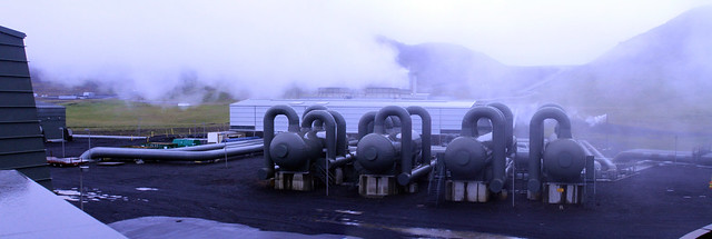
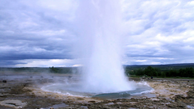
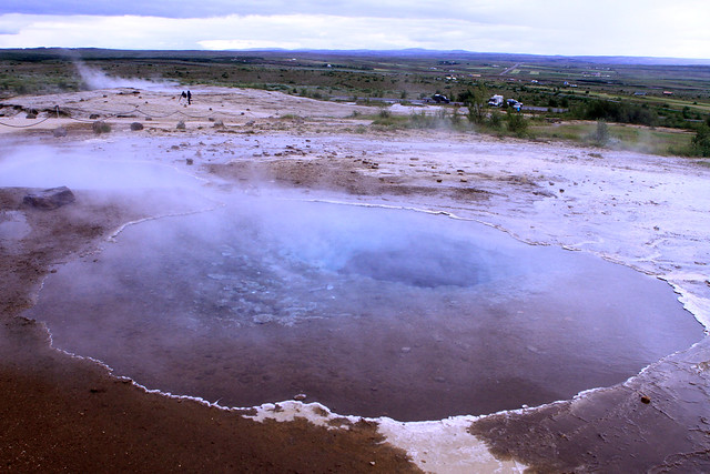
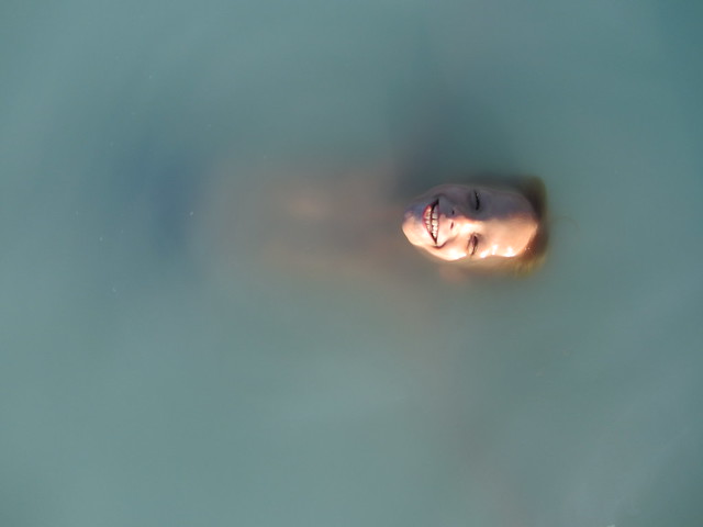
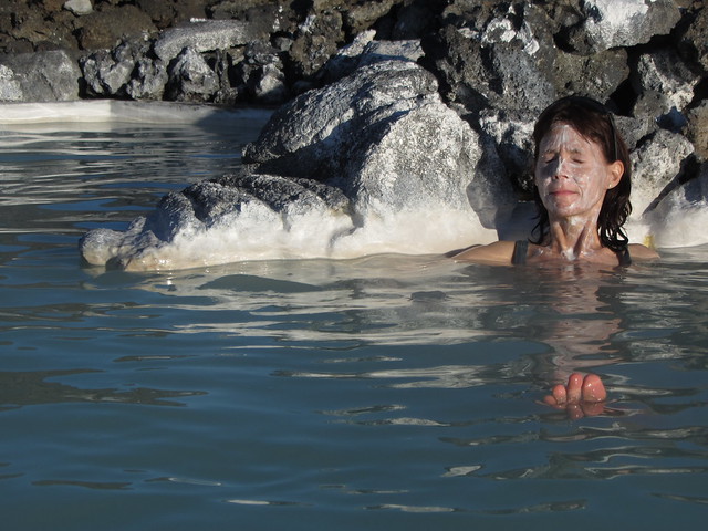
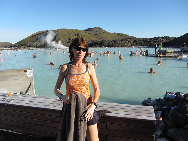
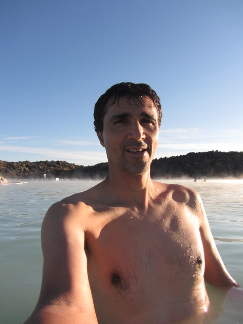
To finish our trip to Iceland (and stay out of the rain), we toured a geothermal energy plant after my run. The exhibition plant sits near a volcano and an old scout camp. They explained how +90% of Iceland's heating, hot water, and electricity come from renewable energies such as the plant we saw.

GeothermalPower_Panorama1Adj

IMG_8006Adj

IMG_8023Adj

Summer Vacation 2013 677Adj

Wednesday Aug 7, 2013 #

11 AM

Hiking (Trail) 20:30 [0] 1.3 mi (15:46 / mi) +27m 14:49 / mi

We continued our vacation in Iceland with a drive east from Keflavik and Reykjavik. On the way we stopped at Thingvellir (Pingvellir?) National Park. We were short on time since we'd scheduled a guided hike for later and further east. The hike was partly to get better directions to Gullfoss. Though we had rented an auto GPS and set it to English, it wouldn't locate some places unless we listed things alphabetically in the native Icelandic language, and selected them--the English spellings could not be found. On the hike in Pingvellir, we walked into a crevassed fault line (the one that represents where the Atlantic is spreading both east and west), past the site of the old legislature of which virtually nothing remains, and past some pretty stream valley that empties into the largest lake in the country.

IMG_7996Adj

Thingvelir_Panorama1Adj

IMG_7782Adj
2 PM

Hiking (Glacier) 1:00:00 [1] 1.1 mi (54:33 / mi) +60m 46:39 / mi

After a quick bite to eat, Peggy, Max, and I joined a tour for a glacier hike on Langjokull Glacier in Iceland. Max was upset about not getting to see the end of a movie he had been watching on my iPad. At age 8, he can only absorb just so much from site seeing and without a booster seat, looking out the window or over luggage was hard. He didn't seem to want to get ready to go and this soured a part of the trip that I had been looking forward to.

Before we could hike, we had to go northeastward by bus on dirt roads for almost an hour, then take a boat Across Hvitarvatn Lake. The boat ride was 35-40 minutes. It ended with a close in view of a glacial tongue that we would later climb over. One chunk of ice hung looking ready to calve. Our a Captain jokingly blew a horn at it to try to get it to go. We landed and got off our life jackets. When we had gotten our crampons and ice axes, Max lit-up with a mischievous smile. Moments later there was yelling. The chunk of ice we'd seen had started dropping. I couldn't get my lens cap off quickly enough to catch the start but I did snap a few shots of the small house or shed sized piece fall into the lake. It sent a wave that washed up onto the shore not far from where we were standing. We were really lucky to have seen it. In 3 years, our guide hadn't once seen it happen. The Captain said that at this time of year the glacier begins retreating so it'd probably be the last of the season. Max was even more interested after that.

The actual hike was fun and easy. We learned a bit of technique in holding the axe and how to bite into the ice with the crampons. It felt very natural and I didn't slip at all. We heard a submerged river, saw some crevasses, and saw some surface streams disappear into holes. It was fun.

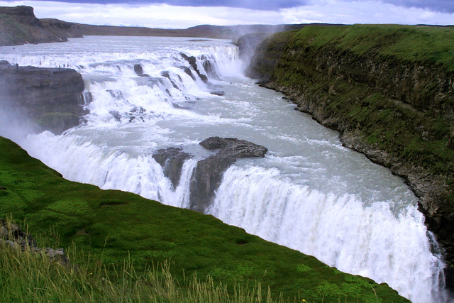
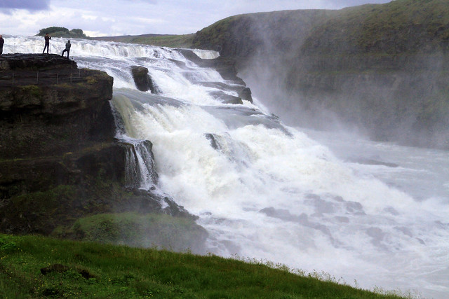
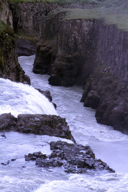
The trip back across the lake was colder. A storm had been moving in with a lot of wind and lower temperatures. Water splashing against the boat in waves got us a little wet. Peggy and Max had rain pants and coats. I only had my raincoat due to packing too quickly so my legs got wet. It was an invigorating ride and the Captain's daughters sold us some candy when we returned. They were young and very cute kids who seemed happy in the otherwise isolated A-frame hut they were living in with their parents for the summer. On the drive back to Gullfoss I was amazed at how green things had become. It was monochromatic on the way out. Our guide explained how the rain let things turn green--it had only been a few hours. At Gullfoss, we walked the trails along the falls. They were impressive, falling along two angled fault lines and carving a canyon in the fault at the bottom.

IMG_7975Adj

IMG_7796Adj

IMG_7975Adj

Langjokull_Panorama2

IMG_7861

IMG_7851Adj

IMG_7846Adj

IMG_7828Adj2

IMG_7831Adj

IMG_7821Adj

IMG_7813Adj

Langjokull_Panorama1

IMG_7946Adj

IMG_7951Adj

IMG_7954Adj

IMG_7965Adj

Hiking (Trail) 30:00 [1] 0.5 mi (59:59 / mi)

Geysir, Iceland. To finish-up our day, Peggy, Max and I walked around the Geysir area. It reminded me of the Yellowstone geyser valley though it was smaller. There were bubbling holes and small pools with the telltale colorings of thermophiles. The original Geysir for which other geysers were named no longer spouted but Strokkur put on a frequent and good show averaging 8 minutes apart. Both Max and I caught it on video. It was more memorable fun for our family. We got out before it rained again. Eventually we got to Reykjavik to a very comfortable hotel.

StrokkerAdj

IMG_7984Adj


A storm is blowing outside now and the realities of going home soon are ahead.

Tuesday Aug 6, 2013 #

Note

Peggy, Max, and I arrived in Iceland. We rented a relatively inexpensive cabin with all the basic amenities, near the airport. I played a bit of soccer with Max using a ball he'd found but it was nothing worth logging for training. I would have liked to have gone for a short run but our time was such after the soccer playing to go to the Blue Lagoon. This hot spring is in open air and in a somewhat naturalistic setting (next to a sizeable greeting/changing building) It was clear that they cleared the water area to make it more accommodating and they were pumping water in some places. The ground was mostly sandy though with a milky whiteness, I couldn't see through it. I did manage to find and step on some rocks in an unpleasant way but most of it was just fine. The tendency for minerals to precipitate out seemed to coat the floor and sides. Other parts were less natural such as the bar and some side pools for massage. The water was good enough for us. The temperatures varied as we moved a round. We did partake in the use of the white silca "mud" as did others--a supposed healthy salve that is supposed to be worn for 10 minutes. It at least gives couples an excuse to spread it on each other and otherwise makes people laugh at each other.

Summer Vacation 2013 533

Summer Vacation 2013 521

Summer Vacation 2013 513

Summer Vacation 2013 502

Summer Vacation 2013 526

Sunday Aug 4, 2013 #

10 AM

Hiking (General) 1:00:00 [1] 0.5 mi (1:59:57 / mi)
slept:6.75

Near Drumnadrichit and Loch Ness, Scotland: Peggy, Max, and I toured Urquart Castle today. This was a ruin on a site that once was a strategic crossroad. We paid to get in. I wasn't disappointed.

IMG_7420Adj

IMG_7489Adj

Urqhart_Panorama1Adj

IMG_7419Adj

IMG_7459Adj

IMG_7432Adj

Urqhart_Panorama2Adj
4 PM

Hiking (General) 2:42:04 intensity: (15:00 @1) + (2:12:04 @2) + (15:00 @3) 4.73 mi (34:17 / mi) +436m 26:39 / mi

Near Uig, Isle of Skye, Scotland: Peggy, Max, and I hiked today. I think that this was one of the most scenic hikes that I'd ever done. We hiked The Quiraing, a popular trek near the northernmost end of the isle. The views started before we even got started hiking, during the treeless drive up to a saddle. The saddle was about 800 feet up but it seemed higher. For the first mile we didn't climb much. The trail weaved amongst rocky outcrops covered in lichens. We stopped a lot snapping pictures everywhere we looked. Max was amongst the worst of us for doing this (with his iTouch). I counted seven colors repeated over and over in the landscape. Green grasses appeared dominant until one gazed further. White lichens and waterfalls covered the grey and black rocks as the grey clouds covered the blue sky. A few purple heathers and yellow flowers would spice things up. It was windy but either at our backs going out or on the leeward side. The rocks were whimsical; often large spires or flakes that didn't look like they could have weathered that way naturally. Like the orienteering terrain we'd been running this week, shapes of ridges and depressions were repeated on a larger scale. Our return trip was shorter but took us quickly higher over the upper ends of the ridge (close to 2,000 feet in elevation). We eventually left the cliffs altogether walking on grass where the trail was flatter. The views were farther seeing but not as grabbing as the hike up was. I postulated that we just can't take in much more beyond a 2-3,000 foot elevation difference.

IMG_7523Adj - Copy

IMG_7529Adj - Copy

IMG_7547Adj

IMG_7568Adj

IMG_7572Adj

IMG_7579Adj

IMG_7581Adj

IMG_7592Adj

IMG_7613Adj

IMG_7631Adj

Quaraing_Panorama5bAdj
7 PM

Hiking (General) 50:27 intensity: (35:27 @1) + (15:00 @2) 1.3 mi (38:49 / mi) +49m 34:45 / mi

Near Uig, Isle of Skye, Scotland: For an encore, Peggy, Max, and I squeezed in another hike. This one was not far from the last but it was much lower. We wandered through Fairy Glen. There lots of unusual rock formations abound. There were a lot of strange conical stone and grass covered hills amongst other ridges streams with waterfalls, and a pond. Max charged up most of the hills while carrying his new wooden sword (from Urquart Castle). There were sheep and strange black slugs. On the ground people used rocks to form shapes or spell words. It was fun. Afterward, we had a nice dinner in Portree (3 kinds of smoked fish and a sweet potato soup for me). The drive across Skye both coming and going was really picturesque.

IMG_7645Adj

IMG_7649Adj

IMG_7687Adj

IMG_7676Adj

FairyGlen_Panorama2Adj

IMG_7685Adj

IMG_7704Adj

IMG_7722Adj

Saturday Aug 3, 2013 #

4 AM

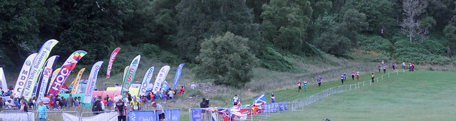
Running warm up/down (Trail) 17:25 [2] 1.49 mi (11:43 / mi) +67m 10:17 / mi
slept:6.7

Scottish 6 Days, Coulmony, Scotland, United Kingdom. Day 6: I walked and jogged my way from the event center to the Blue, Red, Green starts on the Coulmony and Belivat maps south of Nairn. I was trying to jog the whole way but so many people were heading there on the narrow trail that it was hard to get through. It was nice and comfortable weather in the 60's F.

Orienteering (Foot) 1:54:42 [4] **** 8.4 km (13:39 / km) +430m 10:52 / km
spiked:26/30c

Scottish 6 Days, Coulmony, Scotland, United Kingdom. Day 6: My hope for a better day today didn't really work out. With my early start (first on my course) I played it safe going to #1 a longer route on a trail and I spiked it. I did a similar thing for #2 and spiked it too. I navigated perfectly to #3 but because of there being too many control row on the clue sheet (30 plus road crossings) to fit in my long holder, I had folded my clue sheet and miss-read it. I moved past the top end of the spur and started hunting lower down before coming back. I easily lost 2 minutes.

The worst of the day was #4. It was a short leg but with the mapping (which I didn't like) it was deceptively difficult. Initially, I hugged the ridge that I'd gotten to #3 on. I didn't pace count but expected it on the other side of a knoll in a reentrant. The vegetation mapping led me to believe it to be near a clearing but I I'd didn't find it there. Eventually, I figured it was a ridge over, and lower. The ridges were rather small. I didn't find it on this ridge so I went back almost to #3. My bearing took me to where I'd been before. I next tried to go to a trail bend. I was still having trouble figuring out the bends even though I had no trouble using the same trail to attack #1 from. Eventually I figured it all out but I'd taken almost 17 minutes on a 2-3 minute leg. Even when leaving #4, the trail bend I had wanted to use to attack from was much farther away than I'd expected.

Missing #4 affected me getting to #5. I missed a trail intersection right away and rashly decided to go on anyway. I walked much of the way trying to make sense of the contours. When I'd reached the ridge it was near, I was fortunate to turn right and get to the control quickly.

After these misses, I started hitting controls again. I ran with better confidence but I was too tired to run well. My fatigue was the sum of a long week. At the road crossing, I only paused for a short while though I had up to five minutes. I also missed the next real control for another minute loss--I didn't really like the placement in the middle of a long spur that I had to climb to. I pretty much hit all of the rest. I somehow managed to run hard from the Go control. This was another humbling day for me but I had enjoyed the Scottish 6 Days. The events were really well run. The terrain was overall really technically challenging--we have nothing like it in Maryland or Virginia that I've seen except perhaps Bear Island in Great Falls, MD where we are no longer allowed to race or train for environmental reasons.

IMG_7360Adj

IMG_7367Adj

Friday Aug 2, 2013 #

1 PM

Running warm up/down (Trail) 24:29 [2] 2.28 mi (10:43 / mi) +11m 10:34 / mi
slept:7.0

Scottish 6 Days, Forres, Scotland, United Kingdom. Day 5 on the Roseisle map on a military base. I jogged from the assembly area on the sand trails to the start. The forest looked pretty good in most places. Along the way I caught up to Peggy so we jogged the last 3/4 mile together. We passed Bill Langton and his son Ben along the way. They had just called Bill's name before he arrived but he got to start on-time. I was already thirsty before starting and the organizers had announced at the beginning of the entire event that there would be no water on the courses or at the finish. I was also concerned about the pain I was feeling from the heel blister I had gotten earlier. I'd replaced the Compede protection and had it centered better than it had been yesterday but it hurt on the harder ground such as trails.

Orienteering race (Foot) 1:46:20 [4] ***** 7.4 km (14:22 / km) +320m 11:49 / km
spiked:24/30c

Scottish 6 Days, Forres, Scotland, United Kingdom. Day 5 was a tough day for me. The terrain was great. there was a lot of detail and the footing of mostly pine needles on packed sand was soft on the foot. I started well using the detailed 2.5m contours with form lines. I didn't feel bad about executing any of the legs through control #11. My beach route to #4 was slow but that was due to some hesitation leaving the beach (I left it at exactly the right spot with little to clue me but my bearing was off).

On control #12 I left #11 too quickly without seeing the trail route to the left. I guess I had confused the straight second trail for a form line. Going fairly straight, I pulled up too quickly at the first set of hills after a major trail crossing. I convinced myself that I had gone past an intermittent trail without having seen it so I searched for a long while. Even after moving on, I hunted too high before finding it. I lost about 10 minutes on this leg. I got back on track for a while, not perfectly clean but almost until control #21. I took the shortest route going straight instead of following the trail over the ditches. I was already not thinking well as I attacked after the first ditch. Fatigue was wearing on me. On #22 which should have been an easy control in a clearing, I think there was a slight map problem with a triangle of wood not ending on the map where it did in reality, I went to the wrong knolls and wandered back and forth much more than I would have.

I lost 8 minutes and 5 minutes at #25 and #26. I thought I was aiming off to the right on #25 but I missed to the left. I was again far left going to #26, so much so that I hit the trail and had to come in and backwards a little. I was really just drained at this point. Having water on the course would have really helped. The vegetation was high in the area of #26 and I had taken to walking.

I forced myself to trudge on after these areas an I was able to run better into the finish as I spiked the last few controls. I made some big errors and took too long figuring them out today. I hope to be better tomorrow outside of the sand. My early start won't help a lot as others may have elephant trails to follow. Today there were few elephant trails since the footing was pretty good. It'll be the biggest physical day measured by traditional distance and time standards tomorrow too.

Thursday Aug 1, 2013 #

11 AM

Running warm up/down (Street and Trail) 10:40 [2] 1.86 km (5:43 / km) +13m 5:32 / km
slept:7.0

Near Nairn, Scotland, United Kingdom. Day 4 of the Scottish 6 Days on the Loch of Boath map. I warmed-up jogging from the assembly area to the Red course start area.
12 PM

Orienteering race (Foot) 1:23:17 [4] *** 7.7 km (10:49 / km) +230m 9:25 / km
spiked:17/20c

Near Nairn, Scotland, United Kingdom. Day 4 of the Scottish 6 Days, was on the Loch of Boath map. This map looks like terrain on the east coast of the USA, but the ground is very different. There were many tufts of grasses as well contour detail that wasn't. It was raining steadily throughout my run. I blew the first control so badly that I didn't realize it until I was past #2. Unlike earlier all week at 1:7,500, the map today was 1:10,000. I had trouble with distance through out the course. I was anticipating seeing a fence shown on the map, less than half way to #1 but I never saw it. It was really mapped as a broken fence but must have been completely on the ground and hidden by the grasses. There appeared to be a lot of extra contour detail than the map indicated. I must have been left of where I expected but couldn't have been that far off. I came up to a control and ran on when I realized it wasn't mine. At the edge of a hill, I realized #2 was behind me and that the control I'd jus seen was #2. I ran back to it and used it as an attack point to find #1--that was a 5 minute error out of the start. I lacked confidence in being able to read the map after that. I hit the next few controls well and there were elephant trails much of the way for these. I out-smarted myself by changing route plans between #6 and #7. I ended up going through some green with lots of narrow deep ditches, then mistook my location when coming out resulting in attacking too early. After correcting that, I headed to #8 well enough. At the end I mis-interpreted a marsh for what looked like dense low vegetation mapping. There was significant low vegetation in the area and also some distinct dense trees that I passed through neither of which seemed to be mapped. I lost another 2-4 minutes figuring this out. After that, there were some easier controls. I hit them well and regained confidence. I went at controls harder the last half and hit all of them pretty well. A lot of the total climb was in the last third of the course and I ran this pretty well considering my lack of training. I raced a few legs with various people on the last third and came out ahead of them. It was all too little to make up for my early errors. My salvations were having run well through most of the course, and having used Compede for protection where I'd gotten a heel blister over the last few days.

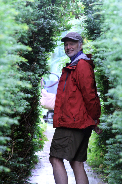
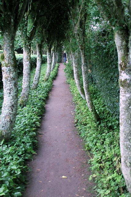
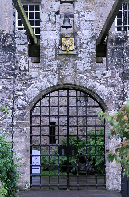
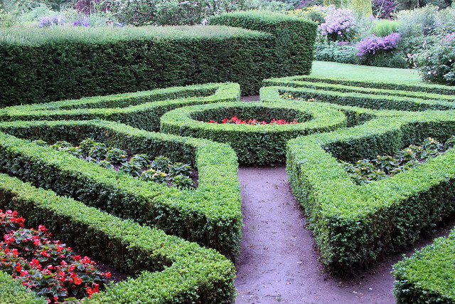
After the race, we went with other QOC friends to Cawdor Castle, touring the inside and the formal gardens. The grounds apart from the formal garden were used in a previous Scottish Six Day event.

IMG_7262Adj

IMG_7265Adj

IMG_7269Adj

IMG_7273Adj

IMG_7274Adj

IMG_7275Adj

IMG_7281Adj

« Earlier | Later »