Training Log Archive: PGIn the 7 days ending Oct 22, 2011:
| ||||||||||||||||||||||||||||||||||||||||||||||||||||||||||||||||||
| « | » |
| » now | ||||||||||
| Su | Mo | Tu | We | Th | Fr | Sa | |||||||
Saturday Oct 22, 2011 #
10 AM
orienteering 32:44 [3] 2.29 mi (14:18 / mi) +318ft 12:38 / mi
shoes: x-talon 212 #2
.jpg)
QR.jpg)
Friday Oct 21, 2011 #
Event: US S/M/L Champs 2011 & WRE
Note
I had a very nice chat with Lou Pataki at the Sprint Champs this afternoon. He is VP-Finance and in charge of the budget for OUSA.
I will just say that Lou is a strong supporter of the Teams.
I will just say that Lou is a strong supporter of the Teams.
1 PM
orienteering 14:54 [4] 1.45 mi (10:16 / mi) +92ft 9:42 / mi
shoes: x-talon 212 #2
US Sprint Champs at Franklin Park in Boston. Running the course for really old men (Brown, M65). Managed to go to all the controls this time, unlike the last time I ran such a course, 2 years ago in Rochester.
And I thought it was a very cool course. 1.9 km beeline, 16 controls. My run was decent, not quite planning ahead enough, so a few stops, but no real misses.
I'll pst the map after dinner.
Today's Brown course (M65 and other senile classes....). And my route.
And I thought it was a very cool course. 1.9 km beeline, 16 controls. My run was decent, not quite planning ahead enough, so a few stops, but no real misses.
I'll pst the map after dinner.
Today's Brown course (M65 and other senile classes....). And my route.
.jpg)
QR.jpg)
Monday Oct 17, 2011 #
mapping 2:30:00 [0]
Out for the first time on Earl's Trails, area just west of Norwottuck on the north side of the range.
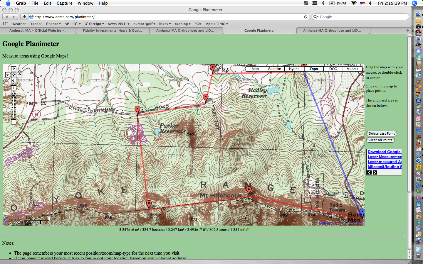
Basemap by Eddie. Contours are excellent.

I'm sure it will take longer than expected, though how much depends on how accurate/detailed I want to be. The standards have changed a lot over the years, along with people's expectations. I think the hardest will be the vegetation, but I will probably not be as anal about it as it seems the mapper was on other maps I've seen. And the bike trails will take some extra time as they are constantly bending.
Eddie also sent a bunch of templates with vegetation on them. I have to figure out how to incorporate them, and see if they are useful. Today was just a first effort to get things started. At least I managed (with help from Alex last week) to print out a copy of the basemap.
Some nice woods.
Basemap by Eddie. Contours are excellent.
I'm sure it will take longer than expected, though how much depends on how accurate/detailed I want to be. The standards have changed a lot over the years, along with people's expectations. I think the hardest will be the vegetation, but I will probably not be as anal about it as it seems the mapper was on other maps I've seen. And the bike trails will take some extra time as they are constantly bending.
Eddie also sent a bunch of templates with vegetation on them. I have to figure out how to incorporate them, and see if they are useful. Today was just a first effort to get things started. At least I managed (with help from Alex last week) to print out a copy of the basemap.
Some nice woods.
Sunday Oct 16, 2011 #
Event: NEOC: Norwottuck
10 AM
orienteering 42:00 [0] 2.75 mi (15:16 / mi) +558ft 12:49 / mi
shoes: x-talon 212 #2
NEOC meet at Norwottuck. Did a good bit of the green course, then quit when I got too pissed off.
The course and my route up to #9, which I never found, in the process rapidly losing my enthusiasm. Walked in, went home.
I suppose it didn't helped that I'd been out earlier hanging four controls on the yellow course, and for two of them I wandered around a bit trying to figure out where to put the control -- the lesser of evils approach -- because the map so totally sucked.
And I suppose it didn't help that I then found out we were using an old version of the map.
And I suppose it didn't help that I knew there was a maze of bike trails around #9, and a lot more laurel than mapped.
Who knows where I was. I put up the 305 track, adjusted to go through 8 (that was correct even if the clue was wrong), and and adjusted to where the trail meets the power line (end of the 305 track), and not adjusted in between. Shows I went right by it the first time, but I have no idea.
On the plus side, because bitching get old real fast.... :-)
I had a pretty decent run up to 7, a little more energy than has been the case recently, ran a little more than expected.
And I kept the white and orange courses from being routed through the fish and game club's firing range.
The course and my route up to #9, which I never found, in the process rapidly losing my enthusiasm. Walked in, went home.
.jpg)
QR.jpg)
I suppose it didn't helped that I'd been out earlier hanging four controls on the yellow course, and for two of them I wandered around a bit trying to figure out where to put the control -- the lesser of evils approach -- because the map so totally sucked.
And I suppose it didn't help that I then found out we were using an old version of the map.
And I suppose it didn't help that I knew there was a maze of bike trails around #9, and a lot more laurel than mapped.
Who knows where I was. I put up the 305 track, adjusted to go through 8 (that was correct even if the clue was wrong), and and adjusted to where the trail meets the power line (end of the 305 track), and not adjusted in between. Shows I went right by it the first time, but I have no idea.
On the plus side, because bitching get old real fast.... :-)
I had a pretty decent run up to 7, a little more energy than has been the case recently, ran a little more than expected.
And I kept the white and orange courses from being routed through the fish and game club's firing range.
C • ??? 3