Training Log Archive: NadimIn the 8 days ending Sep 4, 2018:
| ||||||||||||||||||||||||||||||||||||||||||||||||||||||||||||||||||||||||||||||||||||||||||||
| « | » |
| » now | |||||||||||||||
| Tu | We | Th | Fr | Sa | Su | Mo | Tu | |||||||||||
Tuesday Sep 4, 2018 #
Bicycling (Commute) 6:02 [3] 1.37 mi (4:24 / mi) +19m 4:13 / mi
slept:5.4 weight:197lbs
Bicycling (Commute) 6:05 [3] 1.28 mi (4:45 / mi) +175m 3:20 / mi
(injured)
Monday Sep 3, 2018 #
Note
slept:8.0 weight:194.5lbs (injured)
Sunday Sep 2, 2018 #
Hiking 2:29 [3] 0.17 mi (14:16 / mi) +11m 11:59 / mi
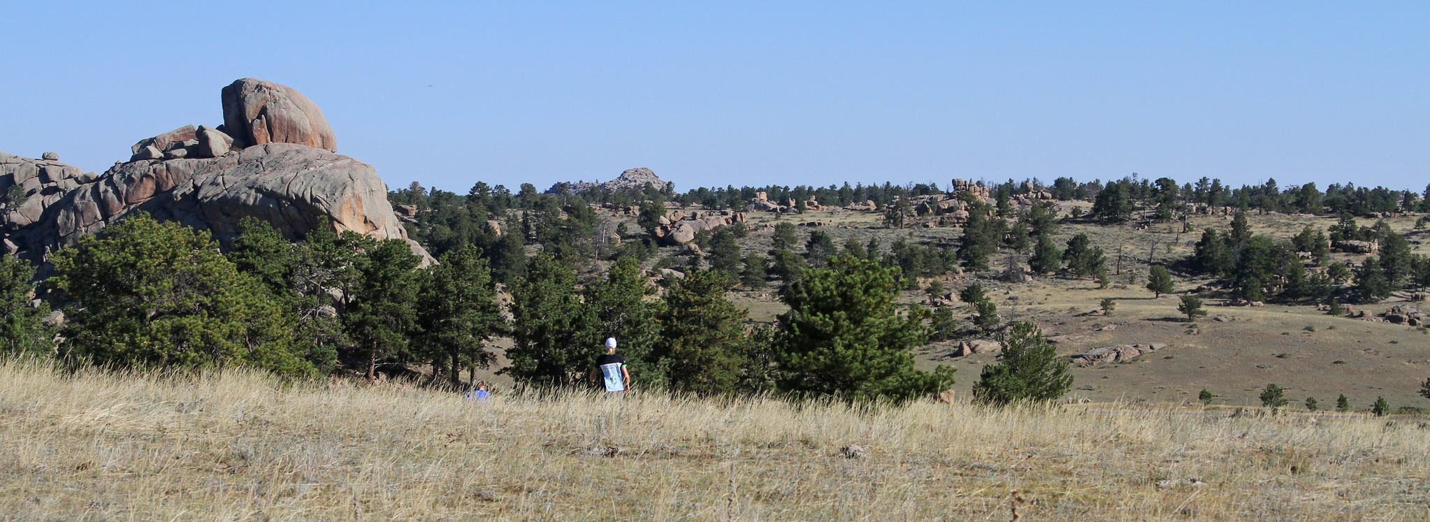
Orienteering 1:03:35 [3] 4.35 mi (14:38 / mi) +243m 12:28 / mi
Saturday Sep 1, 2018 #
Running (Terrain) 16:51 [3] 0.68 mi (24:47 / mi) +14m 23:20 / mi
Running warm up/down (Terrain) 3:49 [3] 0.31 mi (12:19 / mi) +5m 11:43 / mi
(injured)
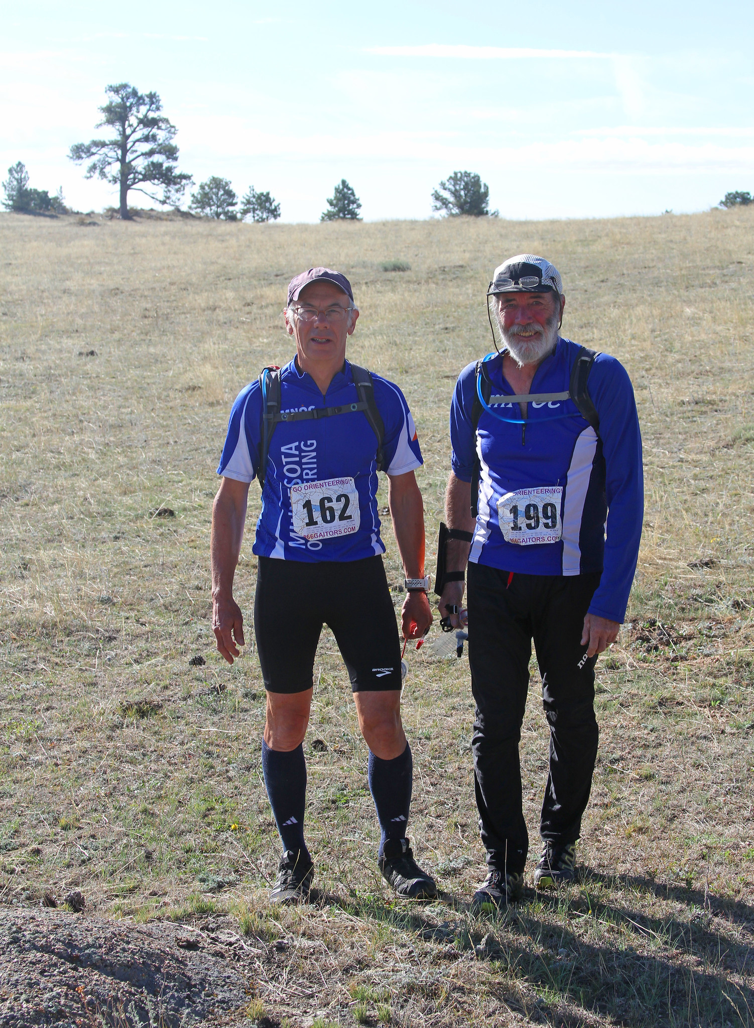
Orienteering race (Foot) 1:09:22 [4] 5.8 km (11:58 / km)
(injured)
Running 13:02 [3] 0.34 mi (38:21 / mi)
Orienteering 1:19:52 [3] 1.96 mi (40:45 / mi) +44m 38:06 / mi
(injured)
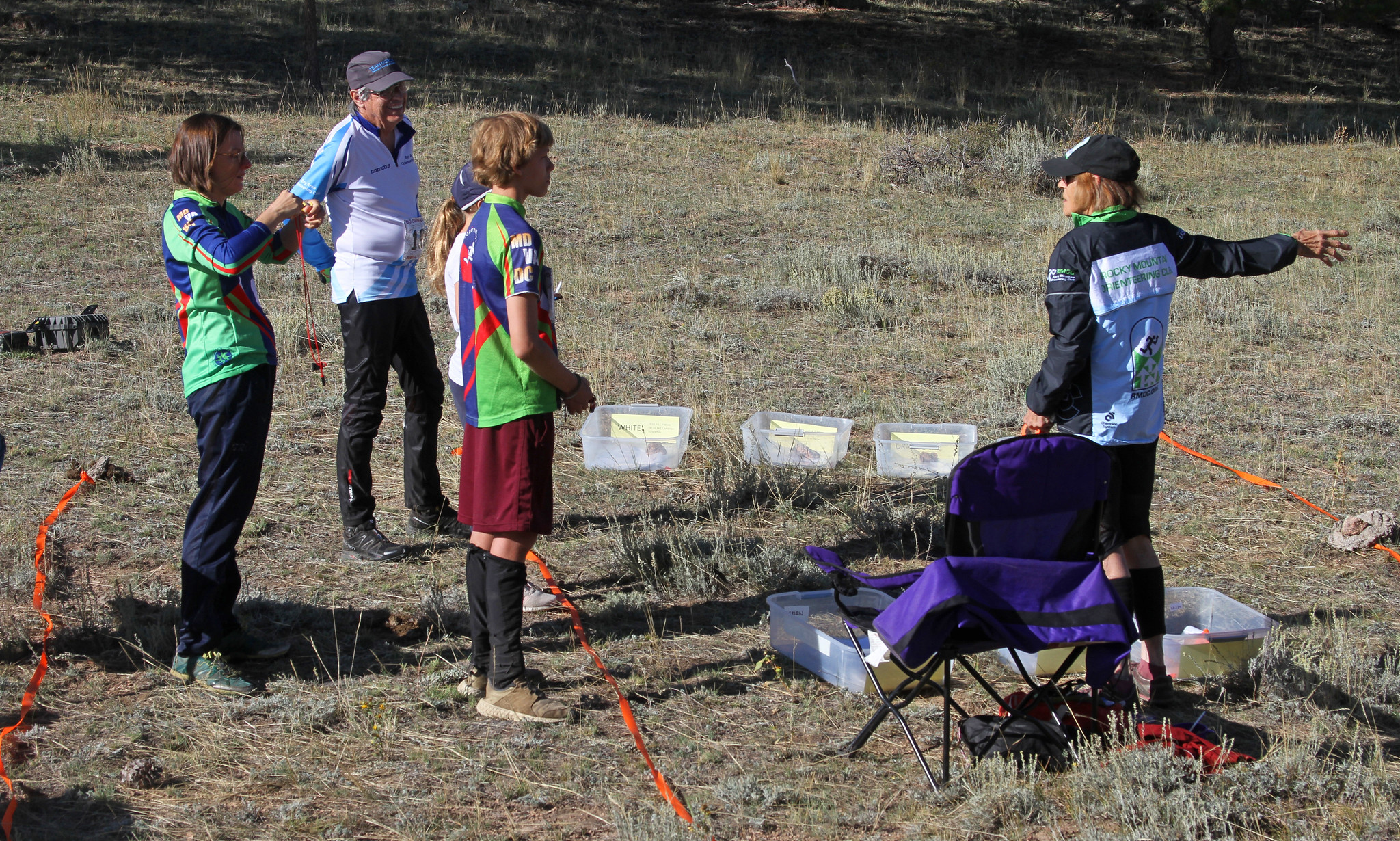
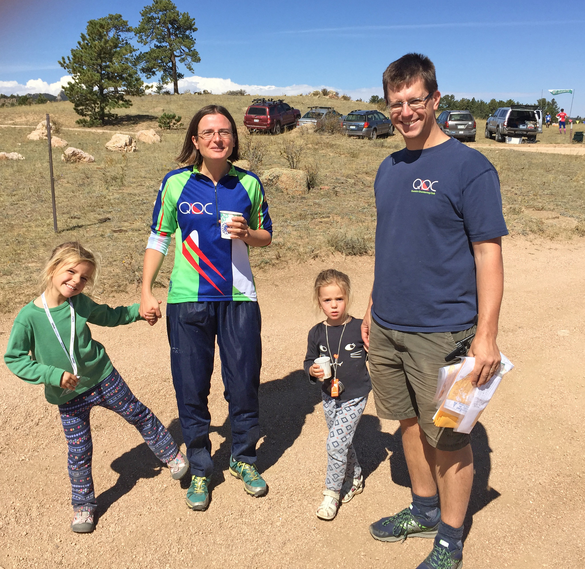
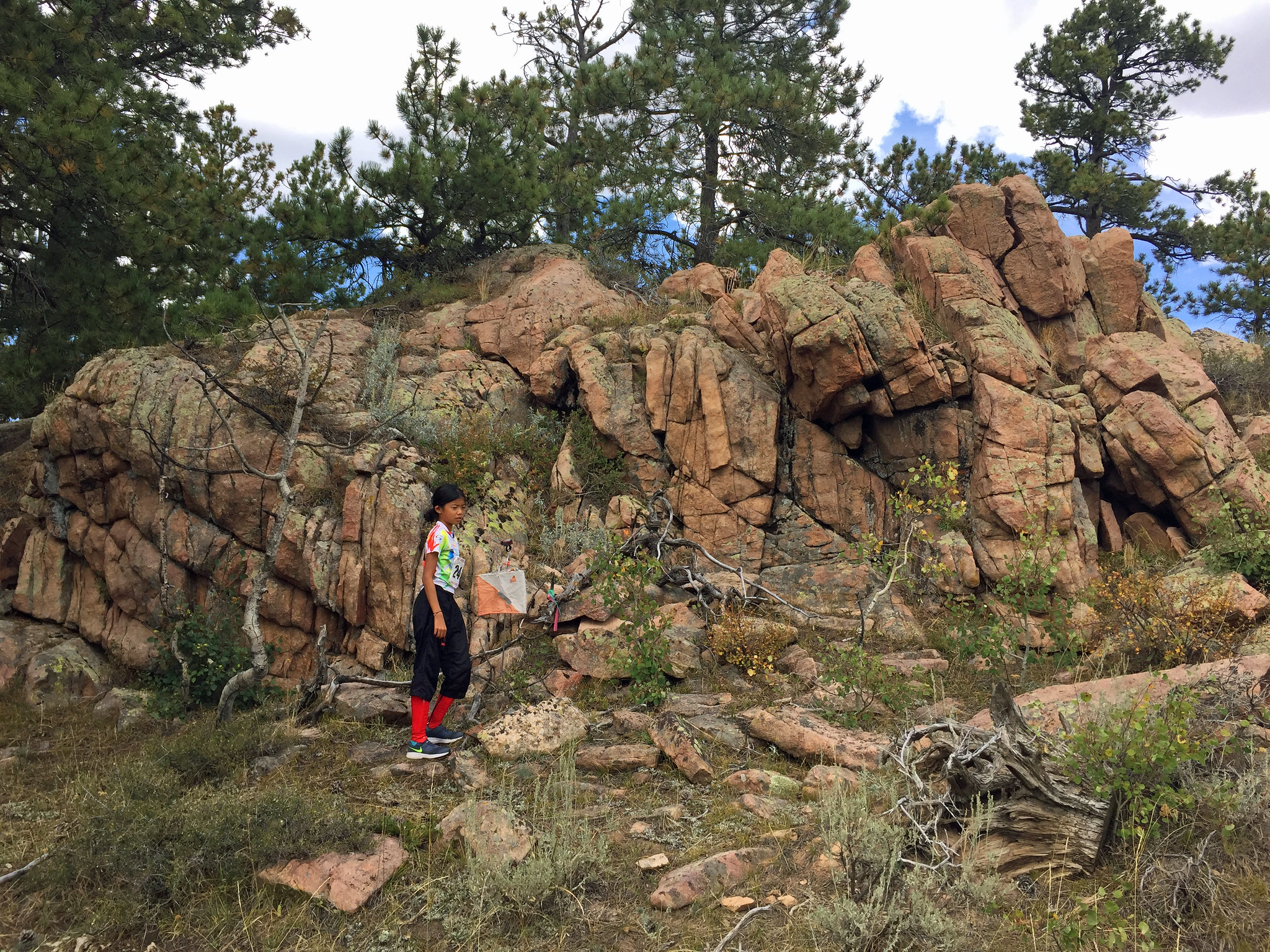
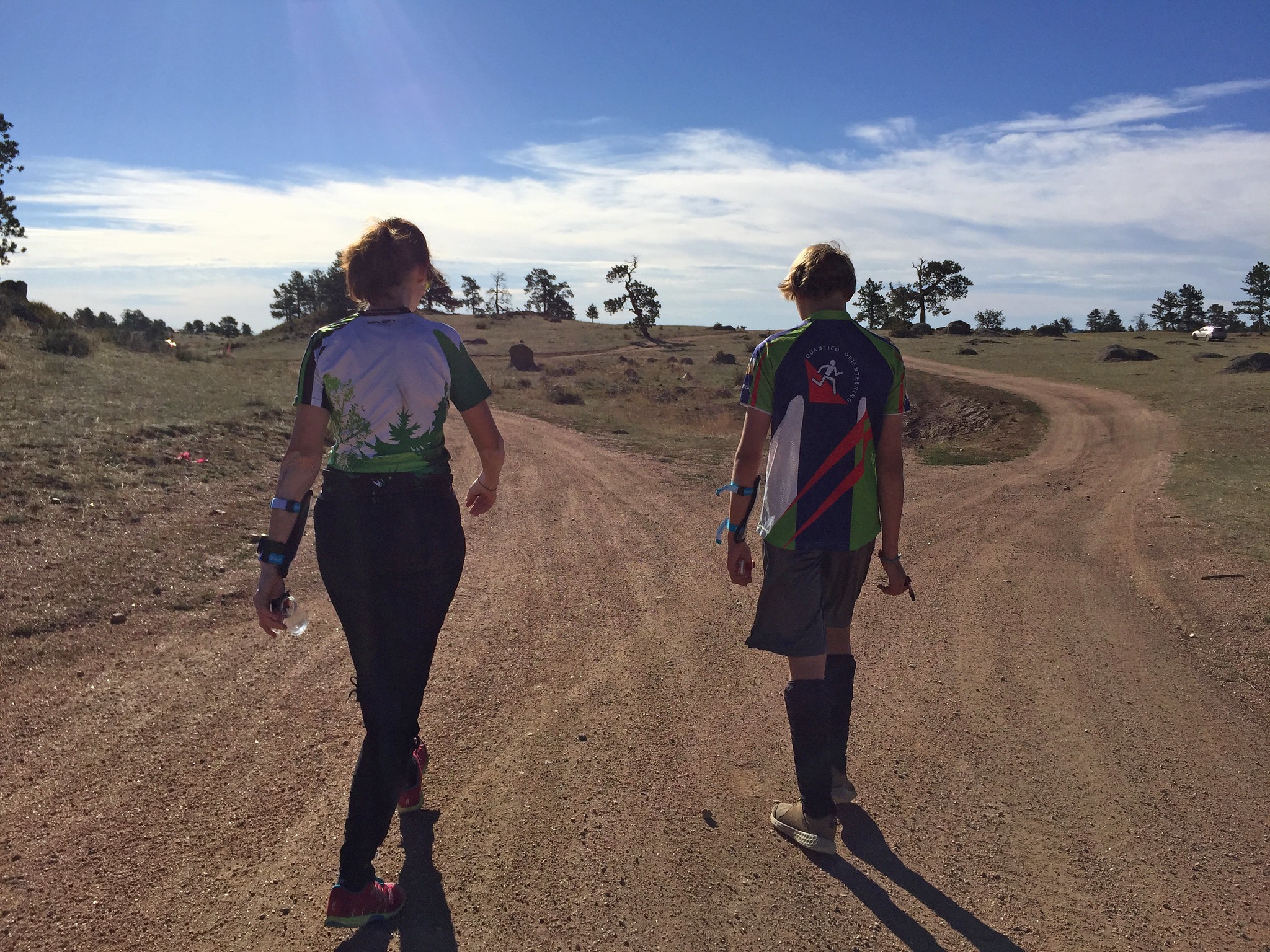
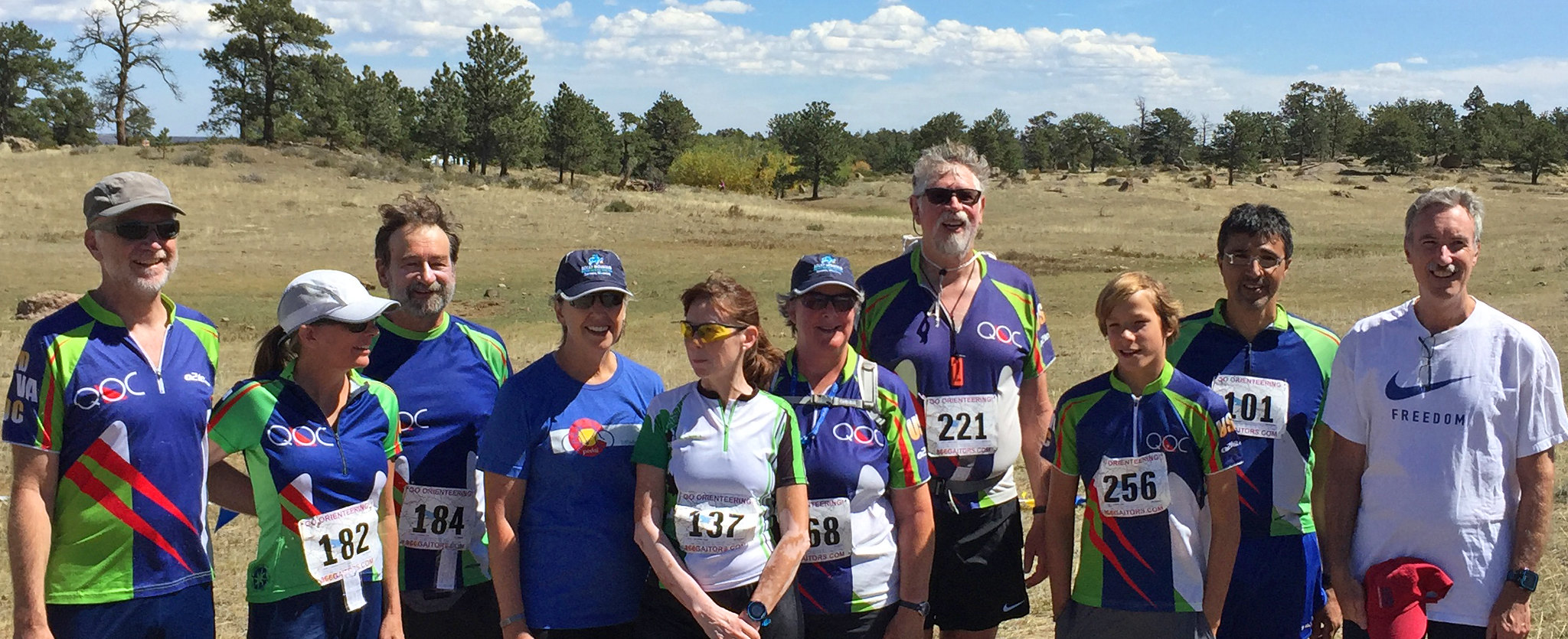
Ted Good finishing his Red course:
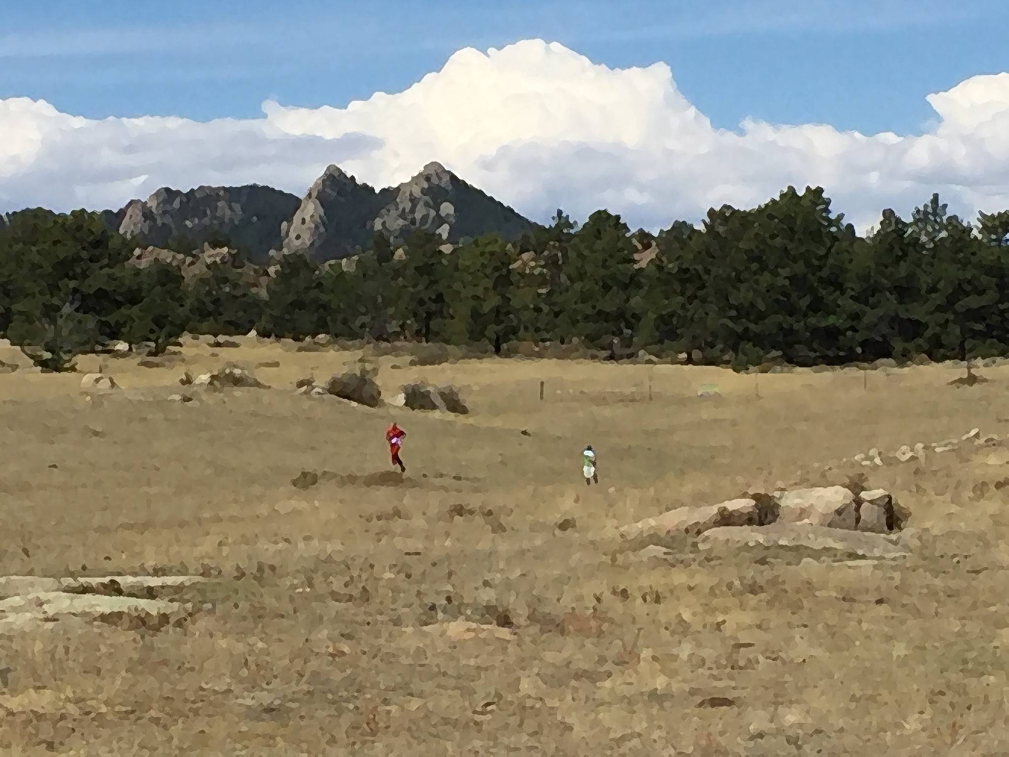
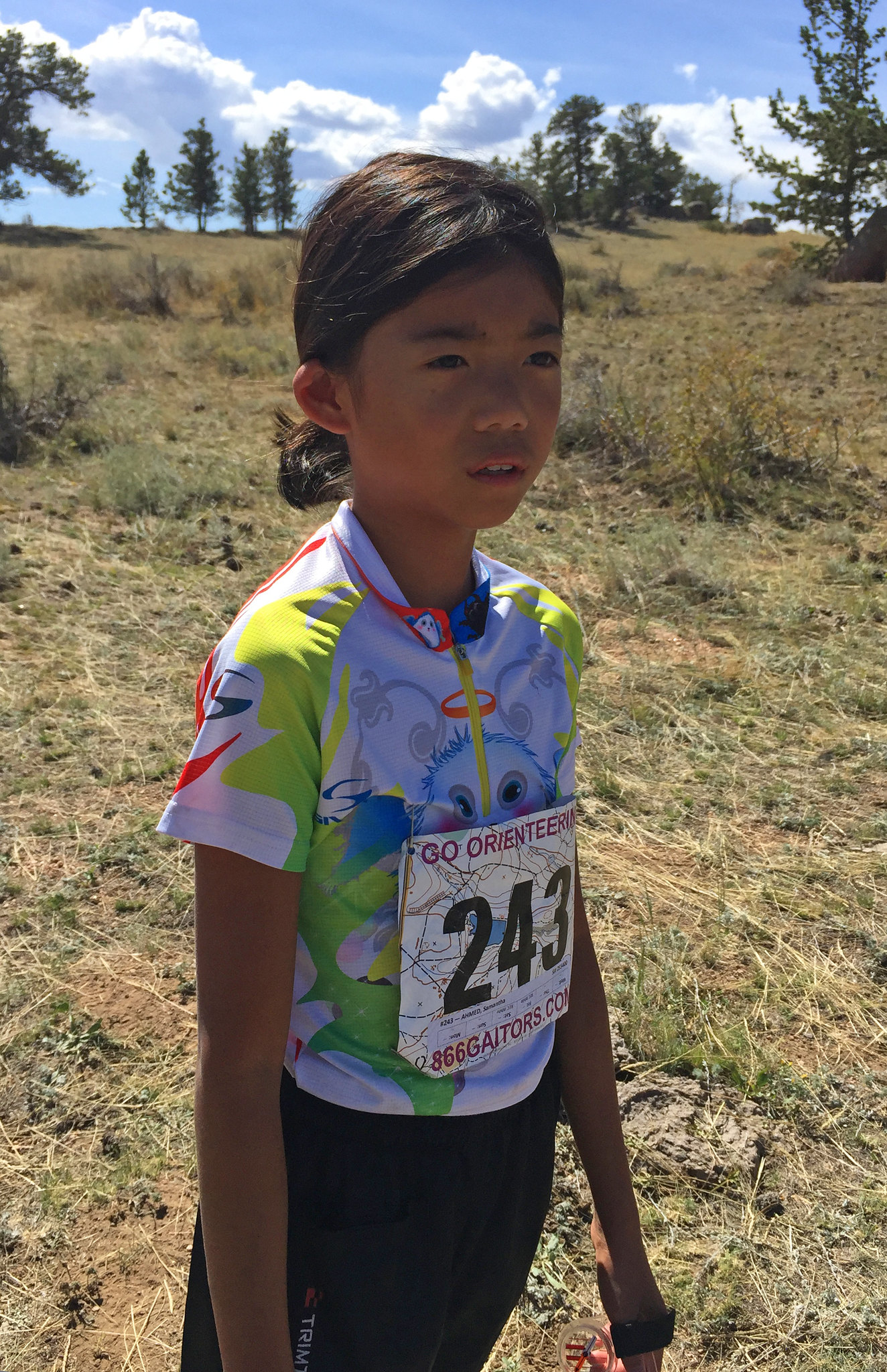
Samantha on the White course:
Peggy on the Green course:
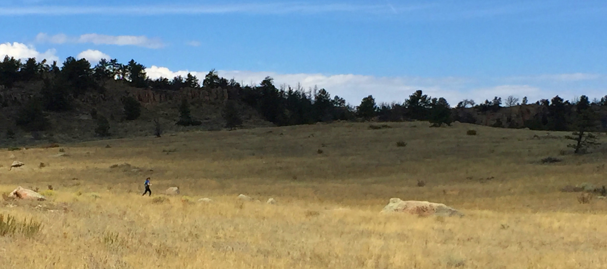
Peggy on the Green course:
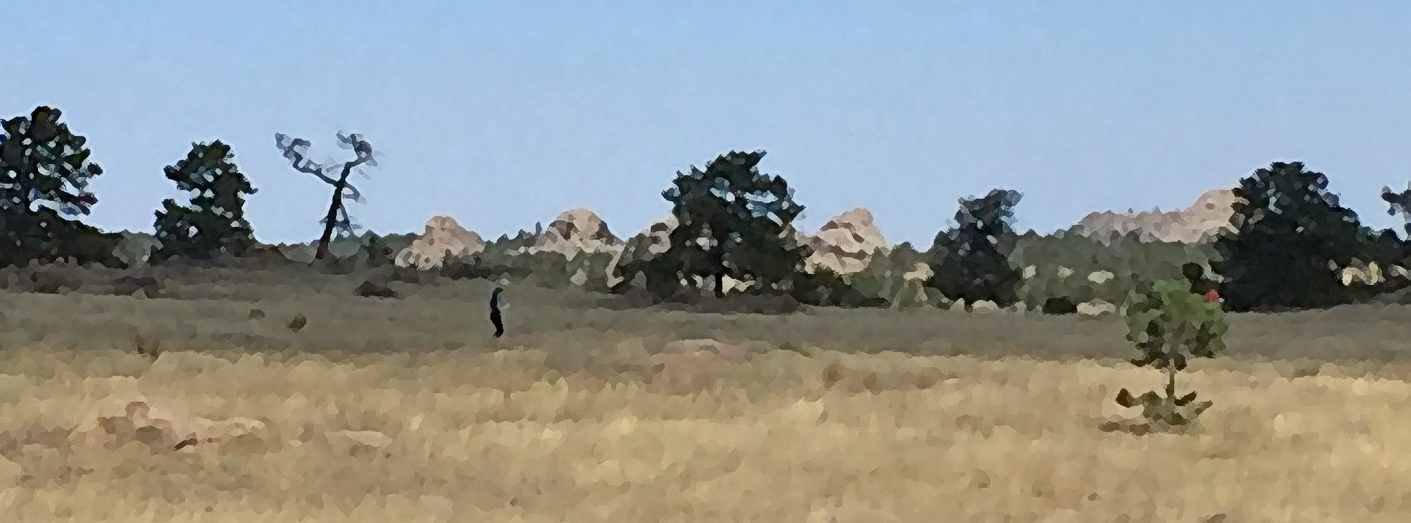
Samantha on the White course:
Friday Aug 31, 2018 #
Running warm up/down (Street and Trail) 13:26 [2] 0.73 mi (18:24 / mi) +12m 17:30 / mi
slept:7.0 (injured)
Running warm up/down (Street and Trail) 6:18 [2] 0.49 mi (12:51 / mi)
(injured)
Orienteering 37:02 [3] 2.61 mi (14:11 / mi) +136m 12:13 / mi
(injured)
Hiking (Foot) 1:41:23 [3] 2.95 mi (34:22 / mi) +97m 31:12 / mi
Thursday Aug 30, 2018 #
Orienteering (Foot) 1:21:35 [3] 6.6 km (12:22 / km) +312m 10:00 / km
slept:7.0 (injured)
Loop A Video
Wednesday Aug 29, 2018 #
Orienteering (Foot) 1:25:35 [3] 7.7 km (11:07 / km) +191m 9:53 / km
slept:8.0 (injured)
Tuesday Aug 28, 2018 #
Hiking (Trail) 30:18 [3] 0.86 mi (35:14 / mi) +166m 22:03 / mi
slept:7.5 (injured)
After getting back to the car we saw a second helicopter go over to the Visitor Center and land. We had to wait in line 20 minutes just shy of it because they were using the parking lot for a landing pad. At the Visitor Center finally, we relaxed and got to some things. We never found out the reason for the emergency aircraft.
Hiking (Trail) 32:42 [3] 1.23 mi (26:36 / mi) +188m 18:02 / mi
(injured)
On the drive down we saw 2 elk. 4 years before we’d seen a herd. We learned to find out that it was becoming more common to see the elk in Estes Park than the National Park. We ate lunch in Estes and Samantha felt much better. Of course w did more shopping. Samantha bought a stuffed dog.