Discussion: Tracking
in: jjcote; jjcote > 2006-09-14
Sep 14, 2006 6:41 PM
#
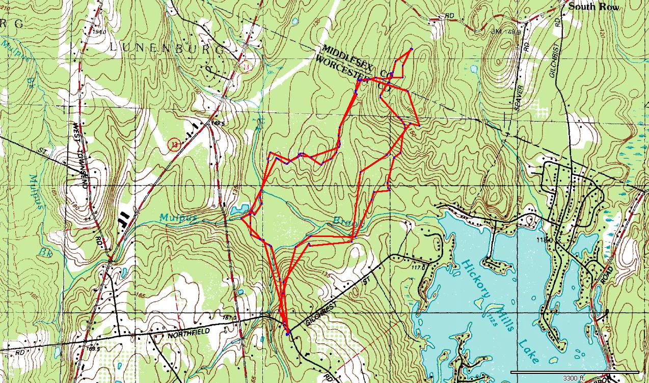
Yup, you are correct - you are getting crappy tracking! I guess that explains why I dumped that model. :) Here are your May 26 & September 14 routes in Topofusion. September 14 is the one with the extra little loop at the top...
I would be interested to see how my newer one preforms in a tough area.
I would be interested to see how my newer one preforms in a tough area.
Sep 14, 2006 9:40 PM
#
When it beeps, it usually says "Weak GPS Signals" on the screen. Wearing it on your head probably helps, although I've never actually sunk that far, uhhhh, gone to that extreme. I've been trying to use discreet GPS points taken in open areas (at points I can see on the
aerial) to attempt to line up the image with a grid similar to UTM. I have had luck getting open air GPS points for the ends of a trail, then stretching the egment-by-segment mapped trail to the endpoints. If I had straight-down aerials, it would be a lot easier, I think.
I've been on some maps where my GPS track in the open is way off where the map says I am. I conclude the map is distorted in some way. I'm thinking that using GPS to fix points around the map might be an easy
way to avoid some of those distortions, at least with the aerials I've got (which are from the county GIS department).
Vladimir Zherdev indicated to me (there were language issues) that you've got to pick something and call it true. He uses the aerial, I think.
This discussion thread is closed.